Crop Health & Stress
See changing field conditions at ground level.
AGK9 follows repeatable orchard or vineyard routes and captures visual, thermal, and optional spectral data that can help prioritize where agronomists and farm teams should look next.
Why Ground-Level Scouting
Drones see the canopy. Ground robots see the row.
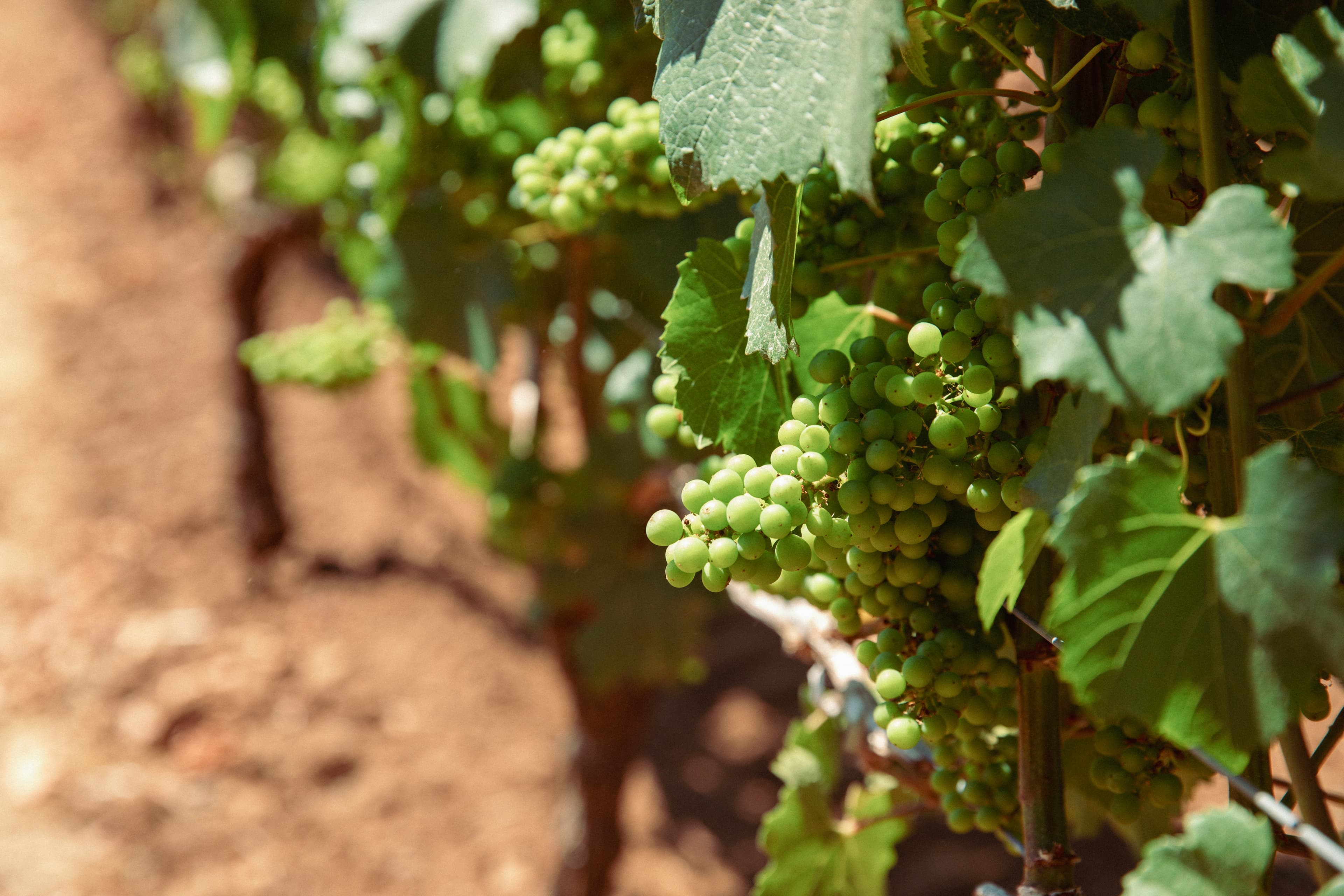
Aerial imagery is valuable for broad patterns. Ground-level inspection can add close-range context under the canopy, around trunks, irrigation lines, fruit zones, and infrastructure. AGK9 is designed to complement—not replace—agronomists, PCAs, field crews, and aerial tools.
Pilot Targets
- Canopy irregularity
- Heat or water-stress patterns
- Missing, damaged, or abnormal vegetation
- Trunk or lower-canopy observations
- Fruit-zone images
- Repeated images from the same route and location
- Areas recommended for human sampling or agronomic review
Current focus: RGB and thermal. Spectral targets are planned and labeled separately.
Spectral Roadmap
Advanced sensing only where it produces a validated decision.
AGK9 is evaluating VIS-NIR sensing for crop-specific research and commercial workflows. Spectral features will be introduced through controlled pilots with appropriate agronomic validation, data rights, and regulatory review.
Planned capability—not a current diagnostic service
Language used for outputs: indicator, pattern, and review—not diagnosis.
Outputs
- Heat and visual anomaly map
- Repeat-location image history
- Prioritized scouting list
- Evidence package for agronomist review
- Seasonal comparison report
- API export for approved platforms
Add repeatability to field scouting.
Define a route, a crop question, a review protocol, and a measurable decision outcome with the AGK9 pilot team.